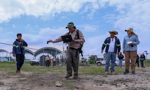
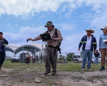
Geospatial Technology Uncovers Mexico's Clandestine Graves
At Mexico's Center for Research in Geospatial Information Sciences, researchers use drones, hyperspectral images, spectroradiometers, and other technological approaches to locate the clandestine graves of missing persons. The researchers also have trained mathematical models with the coordinates of previously identified graves and site characteristics preferred by criminals, and developed tools that can detect sites with high concentrations of nitrogen (an indicator of decomposing bodies) in satellite images. [ Click on the image to read the full article ]
Geraldine Castro
11/1/2024
globalstemsociety.org
© 2026. All rights reserved.
Contact Us
Useful Links
Membership
Member
Honorary
Councils
Developed by Global STEM Society