AI Turns Drone Footage into Disaster Response Maps in Minutes
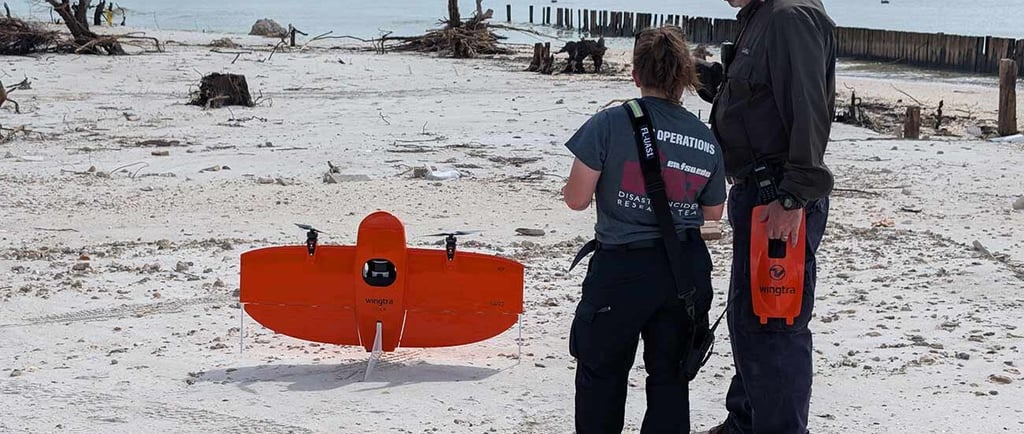
Texas A&M University researchers have developed CLARKE, an AI system that rapidly assesses disaster damage using drone imagery. CLARKE can analyze damage in neighborhoods with thousands of homes in a matter of minutes, helping accelerate response times. Trained on drone images of more than 21,000 houses from 10 major disasters, CLARKE can identify damage patterns from hurricanes, floods, wildfires, and other types of catastrophic events.
Texas A&M University; Lesley Henton
7/28/20251 min read

globalstemsociety.org
© 2026. All rights reserved.
Contact Us
Useful Links
Membership
Member
Honorary
Councils
Developed by Global STEM Society